


Who is this creator?
No community tags yet.
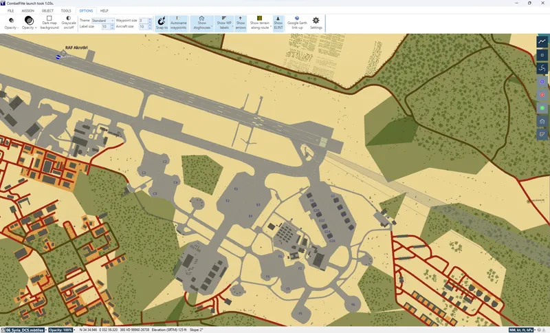
Original Syria DCS Map for CombatFlite - Very High Resolution (3/3)
This is the third part of the zip archive. Part 1 here. Part 2 here.
Jan 11, 2026 0 5

Original Syria DCS Map for CombatFlite - Very High Resolution (2/3)
This is the second part of the zip archive. Part 1 here. Part 3 here.
Jan 11, 2026 0 7
Original Syria DCS Map for CombatFlite - Very High Resolution (1/3)
You will find attached the original DCS Syria F10 map in .mbtiles format for CombatFlite. Due to the extremely large size of the area, it's difficult to achieve a good resolution with relatively small file sizes. This file a therefore a "medium-high" resolution map, shared in three split/zip archive
Jan 11, 2026 0 7
Original Syria DCS Map for CombatFlite - Medium-High Resolution (2/2)
This is the second part of the zip archive. Part 1 here.
Jan 4, 2026 0 4
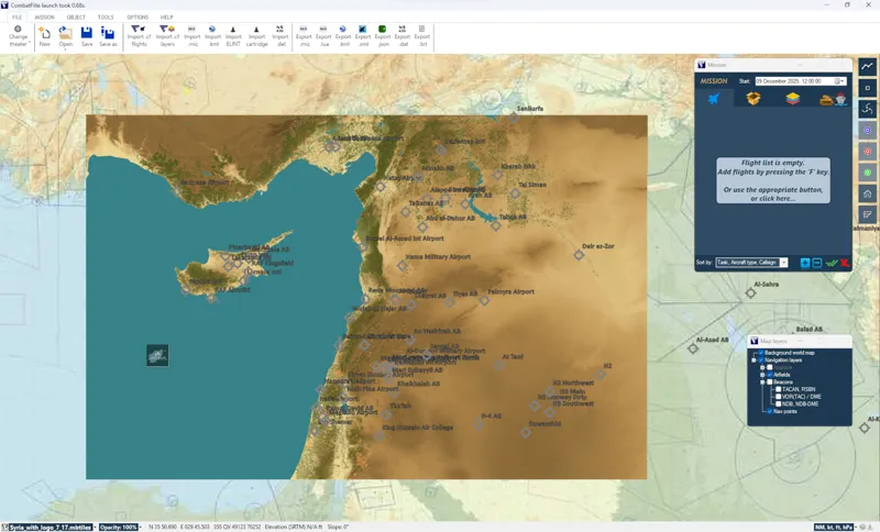
Original Syria DCS Map for CombatFlite - Medium-High Resolution (1/2)
You will find attached the original DCS Syria F10 map in .mbtiles format for CombatFlite. Due to the extremely large size of the area, it's difficult to achieve a good resolution with relatively small file sizes. This file a therefore a "medium-high" resolution map, shared in two split/zip archives.
Jan 4, 2026 0 6
Original Syria DCS Map for CombatFlite - Medium-Low Resolution
You will find attached the original DCS Syria F10 map in .mbtiles format for CombatFlite. Due to the extremely large size of the area, it's difficult to achieve a good resolution with relatively small file sizes. This file a therefore a "medium-low" resolution map, to keep file size reduced. For tho
Dec 28, 2025 0 7

Original Marianas DCS Map for CombatFlite
You will find attached the original DCS Marianas F10 map in .mbtiles format for CombatFlite. I kept the files as light as possible in order to keep both an excellent zoom level and an acceptable file size. In the coming weeks, I'll rework the Caucasus map to increase the zoom level, while reducing t
Nov 28, 2025 0 41
1:200.000 Soviet Map of Afghanistan for CombatFlite
Jul 13, 2025 0

Updated: Afghanistan Theater Map Package for CombatFlite
A 6th map has been added to the Afghanistan Theater Map Package for CombatFlite in the shop. Don't forget to download this additional map if you already bought the package earlier!
Jul 13, 2025 0 1
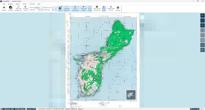
WWII Marianas Islands: 1:65.000 Map of Guam for CombatFlite
You'll find attached the 1:65.000 map of Guam used in the F10 map and Mission Editor in DCS World. You'll find the original .jpg file, as well as the .mbtiles file for use in CombatFlite. Close up view on Orote airfield and Apra harbor. Enjoy your planning!
Jul 6, 2025 0 32
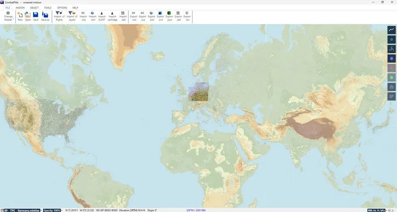
New Background Map for CombatFlite
The attached file is a background map used to replace the default very low resolution satellite map in CombatFlite. When you check the Background World Map option in Map Layers, you see by default a low resolution satellite image. This file has to be placed in your [...]\CombatFlite\Data\Common fold
Jun 29, 2025 0 31
South Atlantic Skyvector Map for CombatFlite
Jun 22, 2025 0
Germany Skyvector Map for CombatFlite
Jun 8, 2025 0

CW Germany 1:500.000 TPC Map - Printable
As a follow-up of the modern ICAO VFR map, you'll find attached a 1993/1994 1:500.000 Tactical Pilotage Chart for CW Germany - both in .jpg and .pdf format. It's the same map as the one visible in DCS F10 and ME map. Note that same map in .mbtiles format for CombatFlite will be released shortly for
May 31, 2025 0 1
Germany ICAO VFR Map (2025) - Printable
May 22, 2025 0
2025 ICAO VFR Map for Cold War Germany in CombatFlite
May 18, 2025 0
XML
Video: How to Open any .miz File in CombatFlite?
Over the past few months, one question has kept coming back more than any other: “Why can't I load a .miz file in CombatFlite when it was made for a custom DCS World theater?” If you've ever tried working with GermanyCW, Afghanistan, Kola, or other unofficial maps, you probably ran into misplaced un
May 8, 2025 0 2

Updated 1967 Germany Road Map for CombatFlite
Following a georeferencing error on this map, an update has been made to the .mbtiles file that was earlier posted here, as well as in the map package in the shop. If you have already downloaded that package, I suggest that you simply download the single map here (public access) instead of the full
May 7, 2025 0 2

1967 Germany Road Map for CombatFlite
This is an historical large scale road map of East and West Germany as of 1967. GDR, Berlin area. Copyright: members are free to use this file without restriction. They may not share it or modify it without the creator's permission.
May 4, 2025 0 5

CW Germany Theater in CombatFlite: .xml files
You'll find attached the .xml files necessary to see the NAVAIDs (beacons) and airfields in CombatFlite, and to import/export DCS .miz files You'll find attached the .xml files necessary to see the NAVAIDs (beacons) and airfields in CombatFlite, as well as to import/export .miz files. If you're not
May 1, 2025 0 43
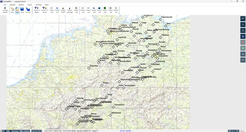
Creating a Cold War Germany Theater for CombatFlite
All the files necessary to add Ugra Media's CW Germany theater for CombatFlite are now available in the shop. Combat Pilot members can access them already, other members will have to wait a little until all these files are released (one .mbtiles map every Sunday, as usual now). Without going back in
Apr 29, 2025 0 2
Iraq, Syria & Sinai Skyvector Maps for CombatFlite
Apr 27, 2025 0

NTTR: Cold War 1:500.000 VFR Sectional Chart for CombatFlite
Perfect for all Cold Ward enthusiasts, and in anticipation for the new Red Flag 81-2 Campaign by Reflected Simulations, you'll find attached the 1:500.000 1970 VFR Sectional Chart for NTTR. Copyright: members are free to use this file without restriction. They may not share it or modify it without t
Mar 30, 2025 0 3

Custom Maps for Mission Planning & Execution
Over the past few months, I have created numerous maps to support mission planning and execution in DCS World. These maps come in various formats, from high-resolution images to specialized files like .mbtiles for CombatFlite or ForeFlight and .pdf for high-quality printing. Example of ESRI map in .
Feb 28, 2025 0 10

Off Topic: South Atlantic ESRI Map for CombatFlite
This is an ESRI map down to level 13 for South Atlantic theater for use in CombatFlite. You'll find attach an ESRI map down to level 13 for South Atlantic theater for use in CombatFlite. Full extent of the ESRI map. Enjoy! Copyright: members are free to use this file without restriction. They may no
Feb 23, 2025 0 5
Off Topic: South Atlantic ONC Map for CombatFlite
Feb 16, 2025 0

Off Topic: South Atlantic Elevation Map for CombatFlite
You'll find here a topographical map with rivers and lakes for Argentina and Chile. It's very useful when you want to be able to read terrain features and select the best low level path to your target area. I remind you that I explained in one of my first posts how to retrieve elevation data for Com
Feb 8, 2025 0 41

Combat Search and Rescue: Relationship with Medical Support and 2010 Basing Example (8/8)
NATO medical support doctrine, CSAR and CASEVAC HLO basing in 2010. As it has been discussed in the previous publications, CSAR and CASEVAC helicopters in Afghanistan were very important for NATO’s medical system. Helicopters like the UH-60G Pave Hawk or CH-47 Chinook worked together with different
Feb 1, 2025 0 81