Over the past few months, I have created numerous maps to support mission planning and execution in DCS World. These maps come in various formats, from high-resolution images to specialized files like .mbtiles for CombatFlite or ForeFlight and .pdf for high-quality printing.
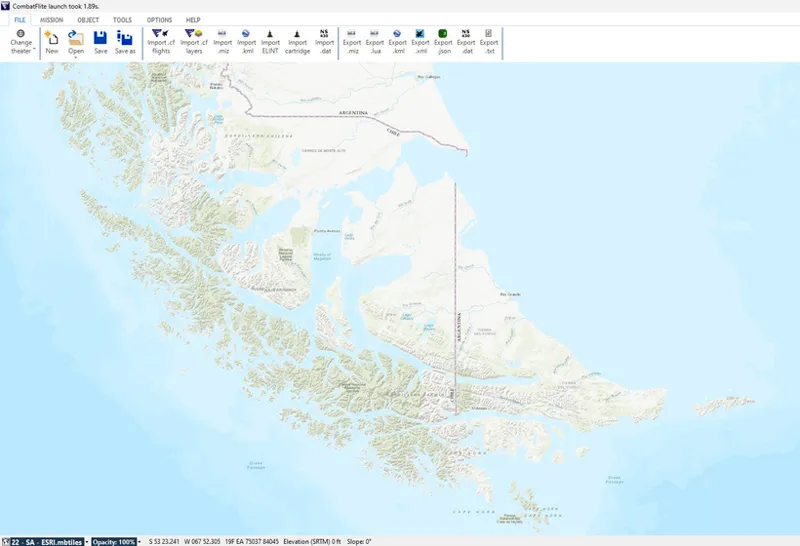
Example of ESRI map in .mbtiles format for South Atlantic theater in CombatFlite.
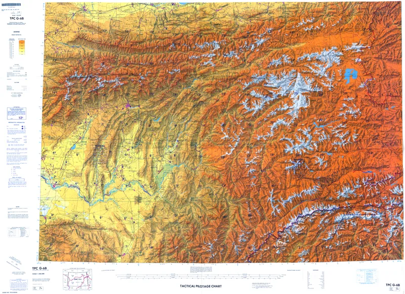
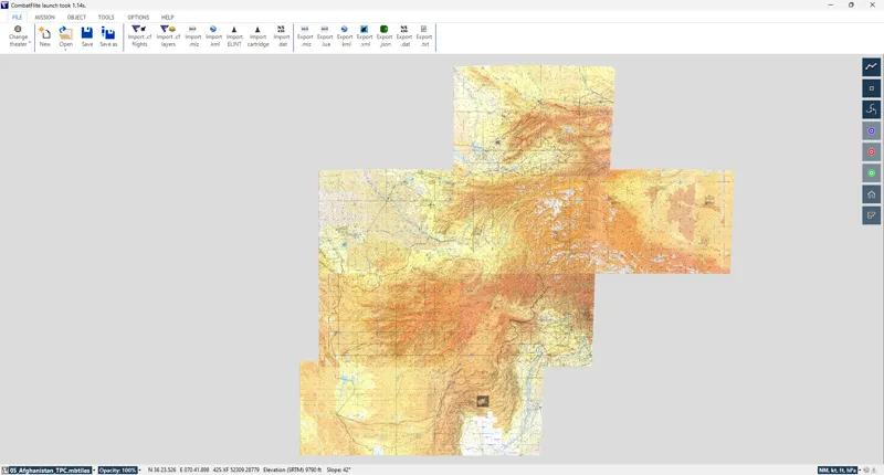
Example of printable 1:500.000 TPC map for South Afghanistan created on-demand for one of our members.
In addition to base maps, I have developed custom overlays, including MGRS and CGRS grids, as well as integrating existing geographical data such as borders, rivers, or elevation. These maps enhance situational awareness and mission immersion, making them valuable tools for both mission creators and pilots.
Example of 1:1.000.000 ONC map with MGRS overlay for Afghanistan theater.
Example of terrain elevation map for Iraq theater in CombatFlite.
To further support the DCS community, I am now offering custom map creation on demand. Whether you need a detailed tactical map for a specific mission, a themed map for an event, or a printable chart for reference, I can design a solution tailored to your needs.
The fee for custom maps will depend on the amount of work required, but I aim to keep it affordable — especially if the final product can be shared with the broader DCS community. If you have a specific request, feel free to reach out, and we can discuss the best way to bring your vision to life.
Thanks!
Comments (2)
A
Atsalis Ark Angel · September 30, 2026
Where can I contact you for a special request?
G
Graveyard of Empires · September 30, 2026
Hello! You can contact me on Discord (gabykhan) or by email gabykhan@yandex.com Thank you