


Who is this creator?
No community tags yet.
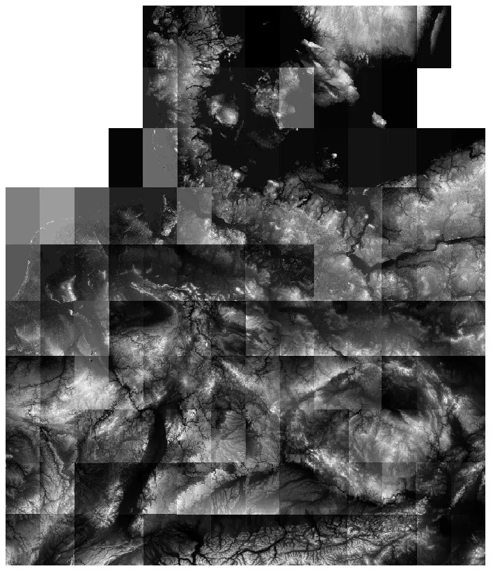
Elevation Data for Cold War Germany Theater
SRTM files for CW Germany theater by Ugra Media for use in CombatFlite Since there's a real hype around the newly released Cold War Germany theater for DCS World by Ugra Media, I decided to invest a little time to create or gather all the files necessary to use this latest theater in CombatFlite. As
Apr 24, 2025 0 1

Update: Afghanistan Digital Elevation Model for CombatFlite
These are the .hgt files for Afghanistan theater in order to use DEM-dependant tools in CombatFlite. The .hgt files for Afghanistan that I shared in one of my first posts were formerly hosted on a Telegram channel due to file size limitations on Patreon. Since they have increased the maximum attachm
Mar 28, 2025 0 1

Custom Maps for Mission Planning & Execution
Over the past few months, I have created numerous maps to support mission planning and execution in DCS World. These maps come in various formats, from high-resolution images to specialized files like .mbtiles for CombatFlite or ForeFlight and .pdf for high-quality printing. Example of ESRI map in .
Feb 28, 2025 0 10
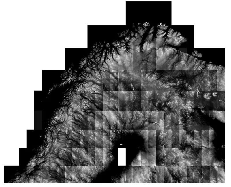
Off Topic: Elevation Data for Kola Theater
Elevation data (.hgt) for Kola theater. Since it seems that despite my previous attempts to explain how to retrieve the elevation data, some people are having trouble finding the dataset for the Kola theater, I'm sharing here the .hgt files which should be copied/pasted into your [...]/CombatFlite/S
Feb 22, 2025 0 1

Off Topic: South Atlantic Elevation Map for CombatFlite
You'll find here a topographical map with rivers and lakes for Argentina and Chile. It's very useful when you want to be able to read terrain features and select the best low level path to your target area. I remind you that I explained in one of my first posts how to retrieve elevation data for Com
Feb 8, 2025 0 41