


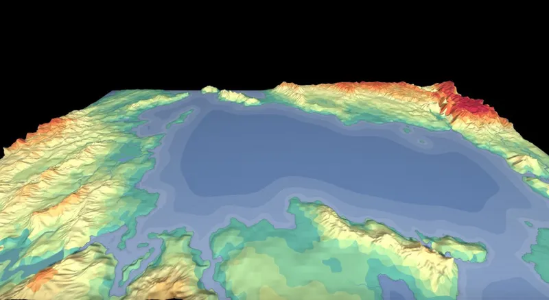


[Update] Eroded Terrain and Satellite Texture (v1.123.0)
The 3D scene mode got two new features: Eroded Terrain and Satellite Texture. Both are opt-in, view-only: your map data is never changed, this is purely about how it's displayed in 3D. You'll find both as new checkboxes in 3D mode settings (press O while in 3D scene).
Eroded Terrain
Before (classic mesh) vs. after (Eroded Terrain enabled):
Normally, the 3D mesh has one vertex per heightmap cell. It's fine for a quick preview, but it looks blocky and too smooth, with no ridges, gullies, or carved valleys.
With Eroded Terrain enabled, the generator bakes a much higher-resolution heightmap on the GPU and builds a dense mesh from it, adding:
• Ridgelines and crests on hills and mountains
• Gully and drainage detail on slopes
• River valleys carved into the terrain
• Coastlines and cliffs that follow your map's true coastline shape, not the grid
The wireframe view shows just how much more geometry is involved:
When you turn it on, a few new sliders appear:
Mesh detail
How dense the new terrain mesh is. Higher = more detail, slower to bake and render.Gully strength
How strong the ridge/gully erosion detail is.River valleys
How deeply rivers carve into the terrain.Detail octaves
How many layers of noise detail are added. More = finer detail, slower bake.Texture resolution dropdown controls how sharp the generated texture is.
The bake is cached, so changing the height-scale slider or re-opening the 3D view doesn't re-bake from scratch. If your GPU can't handle the bake, the view falls back to the classic mesh.
Satellite Texture
Satellite Texture replaces the normal map-style texture on the 3D terrain with a fully procedural, satellite-photo-style look:
Ground colors generated from your map's biomes and climate (forests, deserts, tundra, snowcaps, etc.)
Slope-based shading: rock and cliffs on steep terrain, sand near shores
Rivers, lakes, and coastlines drawn from your map's real geometry, including different colors for freshwater, salt, sinkhole, lava, and frozen lakes
Animated water: ocean swell and shimmer, calm ripples on lakes, flowing rivers, and even waterfalls where rivers drop steeply
Satellite Texture is independent of Eroded Terrain, you can use either one on its own, or combine both for the most detailed result. It's not available together with Wireframe mode.
How to try it
In Layers, switch to 3D scene view mode.
Check Erode terrain and/or Satellite texture.
Both features are experimental and mostly just for fun, having no impact on your map data. Feedback on how the terrain and textures look on your maps is very welcome!
Credits
The Eroded Terrain technique is based on the noise-based erosion filter described in Fast and Gorgeous Erosion Filter by Runevision, which builds on two Shadertoy shaders:
• Eroded Terrain Noise by Clay John (2018)
• Terrain Erosion Noise by Fewes / Felix Westin (2023)
Our implementation was written from scratch based on the published descriptions of the technique: huge thanks to the authors for sharing their work!
If you're curious how erosion detail is generated, check out Runevision's video on the technique. It's a great watch and explains the idea far better than I can.
Comments (3)
this is absolutely amazing!
didn't expect that xD looks good
Looks beautiful!