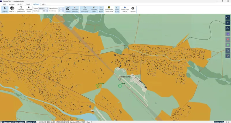
You will find attached the original DCS Caucasus F10 map in .mbtiles format for CombatFlite.
You'll notice that due to extreme file size, you won't get a zoom as deep as in DCS. However, the level of detail is sufficient to place any object or measure any coordinate with a 5 to 10 m precision.
Level of details at the maximum zoom: you can see all the details without difficulty. Additional zoom is still possible, but it will be pixelated of course.
Similar charts will follow in the future, at a slow pace due to the heavy CPU time needed to generate the .mbtiles files.
Thank you!
Copyright: members are free to use this file without restriction. They may not share it or modify it without the creator's permission.