


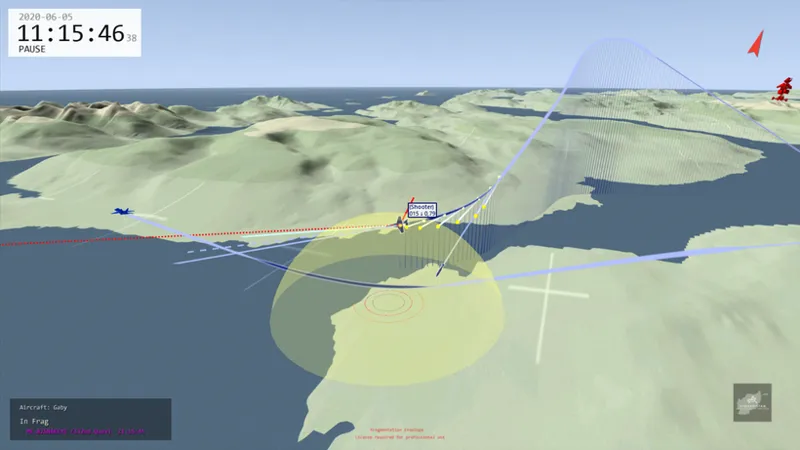


DCS Terrain SRTM1 Files for CombatFlite and Tacview - Afghanistan Theater
Hi all!
I am initiating the release of several .hgt terrain file packs designed to support more accurate DCS World mission planning and debriefing.
For those who followed my very first posts, back in 2024, I distributed at that time real-world .hgt files for various DCS theaters, specifically focusing on new theaters that did not exist natively in CombatFlite and required manual creation.
Thanks to DKS and MissionPlot, we now have access to high-resolution DCS terrain data. Their authors kindly allowed me to use their dataset to generate custom SRTM1 files. These files provide highly accurate elevation data that matches the exact in-game DCS topology, and they are directly usable in both CombatFlite and Tacview.
Installation
In order to use these files, extract the .hgt data into the respective directories for each software:
CombatFlite: place the files in \Program Files\CombatFlite\SrtmDataFiles
Tacview: place the files in your Tacview user data directory. To ensure your custom terrain is not overwritten during software updates, it is recommended to use the user-specific data folder rather than the core program installation folder (typically user\AppData\Roaming\Tacview\Data\Terrain\SRTM1).
For those who want to keep a smooth terrain loading in Tacview, I will also attach the SRTM3 files, that have to be placed in user\AppData\Roaming\Tacview\Data\Terrain\SRTM3. Used alone, these files bring no addition, neither to CombatFlite, nor to Tacview. But used in conjunction with SRTM1 data, they will make terrain loading appear smoother and faster in Tacview. I don't recommend using these files in CombatFlite, unless free disk storage in an issue for you.
Note that in order to gain space on your drive, you can make a Windows directory junction...
Once in Tacview, use the "Real Terrain" option to switch between original Tacview terrain for DCS and the new high resolution DCS terrain.