


June 3, 2025
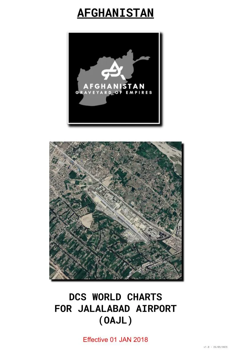
2018 DCS World Charts for Jalalabad Airport (OAJL)
This is a set of charts for Jalalabad Airfield, reflecting the real-world airfield state and procedures around 2018.
Following the format of my previous airport chart releases, I'm pleased to share a new set of charts for Jalalabad Airfield, reflecting the airfield’s configuration as seen in DCS World, based on real-world data from the 2017–2018 period.
You can find here the charts for:
Note: While Jalalabad was officially a VFR-only airfield, IFR procedures were in place to allow aircraft to descend through cloud layers and transition to VFR conditions within the vicinity of the airfield.
Copyright: members are free to use this file without restriction. They may not share it or modify it without the creator's permission.
https://www.patreon.com/posts/112428598https://www.patreon.com/posts/113152586https://www.patreon.com/posts/113523321
Linked post · March 4, 2025· 3 attachments <p>Airport information and IFR Charts for Bagram as of the 2018 era.</p><p>Just like my <a href="https://www.patreon.com/posts/2018-dcs-worl…